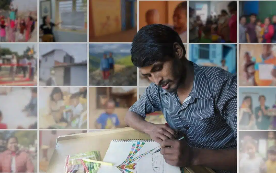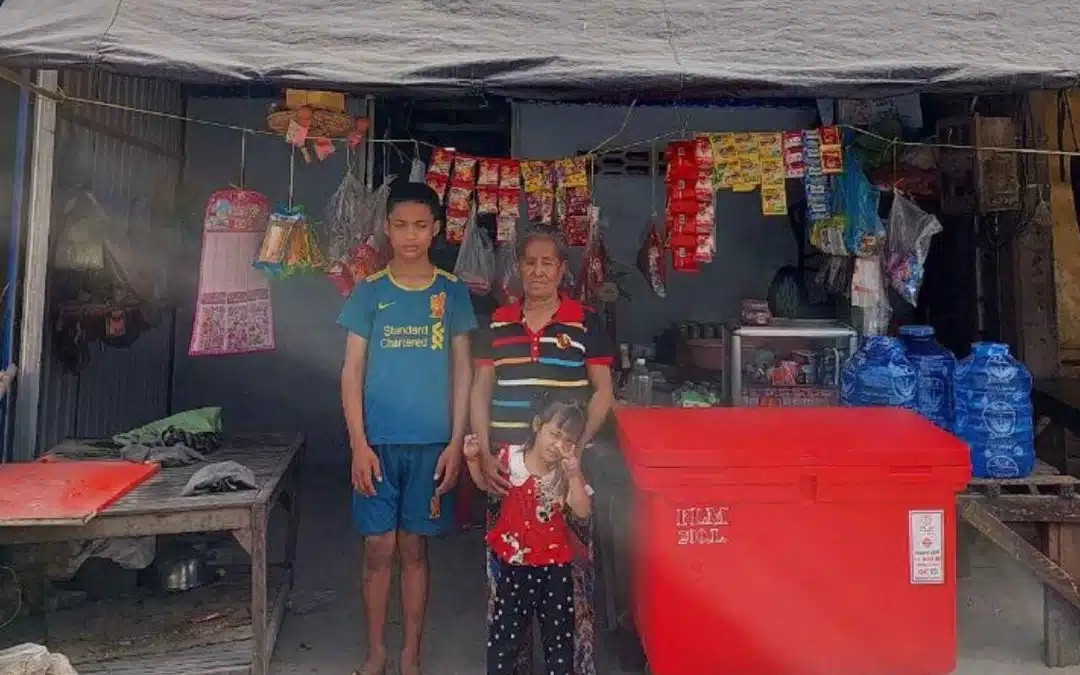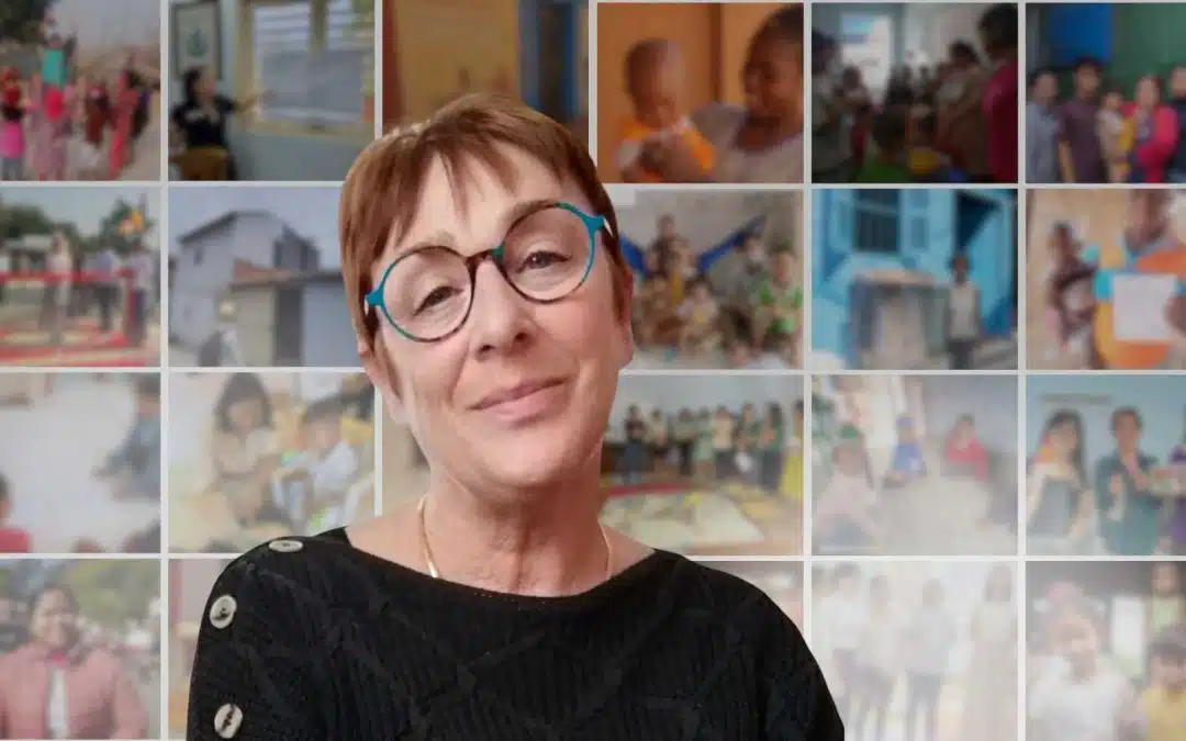
Louise Ripert, a research fellow for Planète Enfants & Développement, is currently conducting a study in four neighborhoods on the outskirts of Phnom Penh. The objective: to understand, alongside the inhabitants, their uses in these neighborhoods and their needs in terms of spatial planning.
Spotlight with Louise on an original tool: urban walks.
What is an urban walk?
An urban walk is a visit to a neighborhood with its inhabitants. The walk, which puts people in motion, frees up speech. Everyone can participate, including illiterate people and children. We have thus realized 7 urban walks these last weeks with groups of 2 inhabitants (including 2 walks with teenagers). The objective was to take us to a predefined list of places: a place where they like to go with their friends, a place they are proud of, a place they find beautiful, but also a place they are afraid of at night or that has suffered floods, etc. One of them takes pictures, while the other one takes a picture of the place they like to go to. One person takes pictures, while the other fills out an information sheet with the help of the facilitator.
What is the interest of these urban walks with the inhabitants?
The aim of these walks is to understand the functioning of common living spaces. Based on their individual and collective uses, the goal is to identify together the spaces that they have appropriated. It is also about hearing what the inhabitants would like to see evolve.
The urban walks are part of a more global approach known as "action research". Through this urban study, various data (geographical, historical, social, economic, environmental, mobility, housing, etc.) are cross-referenced to highlight existing resources (material and immaterial) and collectively identify a concrete action plan in terms of urban infrastructure. The latter is proposed by the inhabitants following the identification of spaces that are not very pleasant for them, which they want to see improved.
Why carry out an urban diagnosis in the outskirts of Phnom Penh?
We have been working since 2018 in the precarious neighborhoods of Phnom Penh (HaLI project). In 2022, we started a 2nd phase of the project in 4 new neighborhoods 20km from the city center. These neighborhoods bring together approximately 2,000 residents who were evicted from the center and relocated to these areas in 2005 and 2006. But before starting development projects in these neighborhoods, it is essential to better understand their urban problems. We therefore started the urban diagnosis in March by elaborating the methodology of the study, then we collected data in May, June and July.
Can you tell us more precisely what are the steps of the urban diagnosis in the framework of the HaLI project?
First, a quantitative individual questionnaire, developed in collaboration with a Khmer colleague, should be conducted with a representative sample of the population. This is complemented by individual qualitative interviews with other NGOs, local partners, village leaders and experts on the issue of precarious communities in Phnom Penh.
We also conducted 3 major workshops with nearly 40 residents. First of all, we made a timeline of their common history in the neighborhood: the arrival of a road, the connection to the water, the big celebrations but also the big floods, the collapse of a bridge etc. Next, they constructed a social map. After identifying the main social groups (with common characteristics and interests) such as small traders, tuk-tuk drivers or children, they were able to qualify and detail the relationships between these groups. The goal: to understand if the design of the space can create a bond between different groups, or avoid bigger conflicts. Then, we continued with the urban walks.
Finally, we conducted a workshop to create the action plan based on problem and solution trees. After having identified during the urban walks 12 spaces that the inhabitants did not want (such as an open-air dump), the participants identified the causes of the problem on the roots of the tree (not enough garbage cans, lack of awareness on environmental issues) and the consequences on the branches of the tree (pollution and health problems). With the realization of the solution tree, the inhabitants reflected and formulated concrete proposals to improve the management of these spaces (collective garbage garbage cans).
I will now take advantage of the summer to analyze all the data collected in order to draw up a profile for each community as well as a list of concrete proposals for urban facilities that Planète Enfants & Développement can finance in the form of micro-projects. We will make the restitution of this work to the inhabitants and to the local authorities in the autumn. Then we will start again an urban diagnosis with the 4 new identified communities in September!
> Learn more about the HaLI project to improve the living conditions of families in the slums of Phnom Penh in Cambodia
